Hike down
Sunrise hike
Temple first, trail down
- Duration4 hours
- AccessWheelchair accessible
- Reviews855
Guides
Language
Currency
Find open datesfrom $25 · cancel without payingFind a stop on the map
See all 23 stops
Pick a route and tap a pin or a stop: you get its note and a Google Maps link.
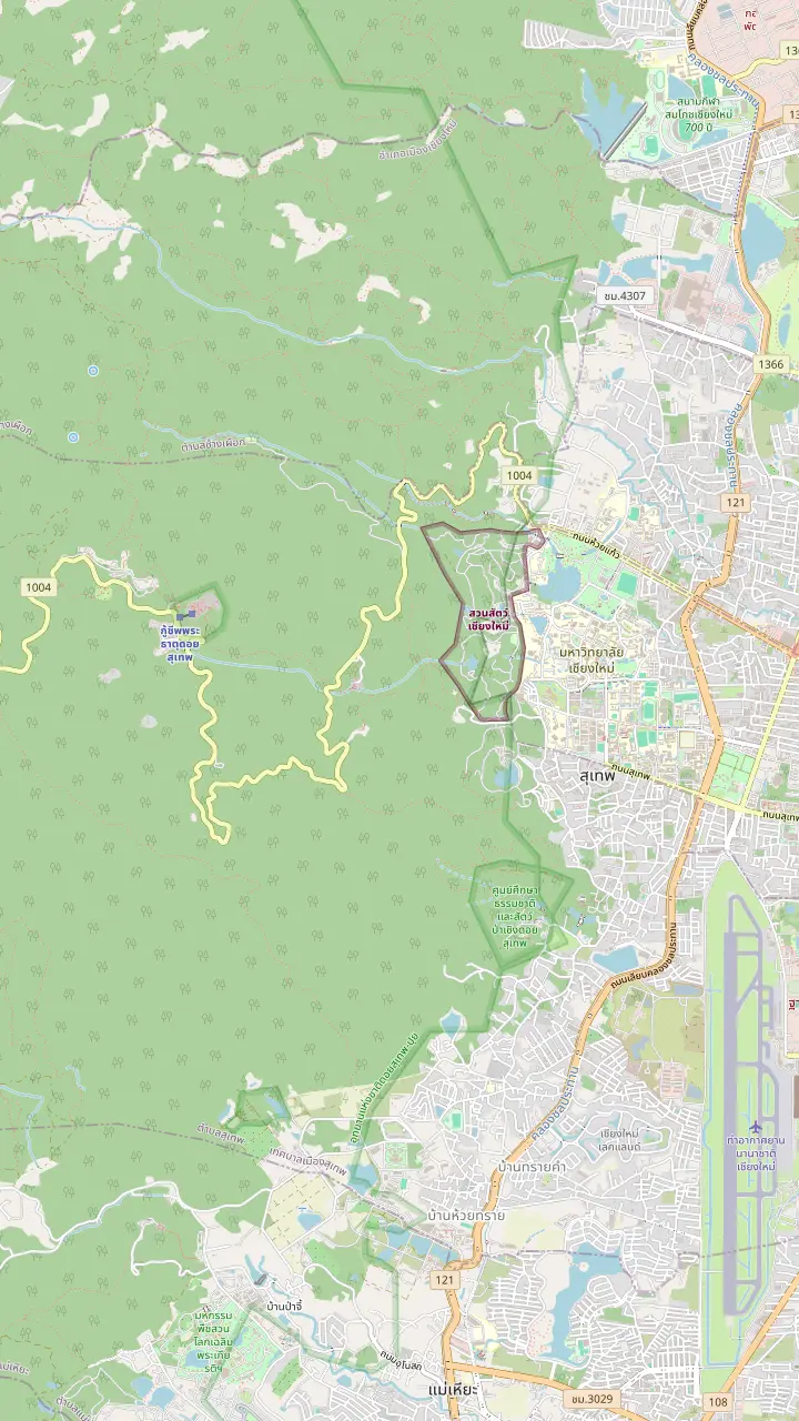
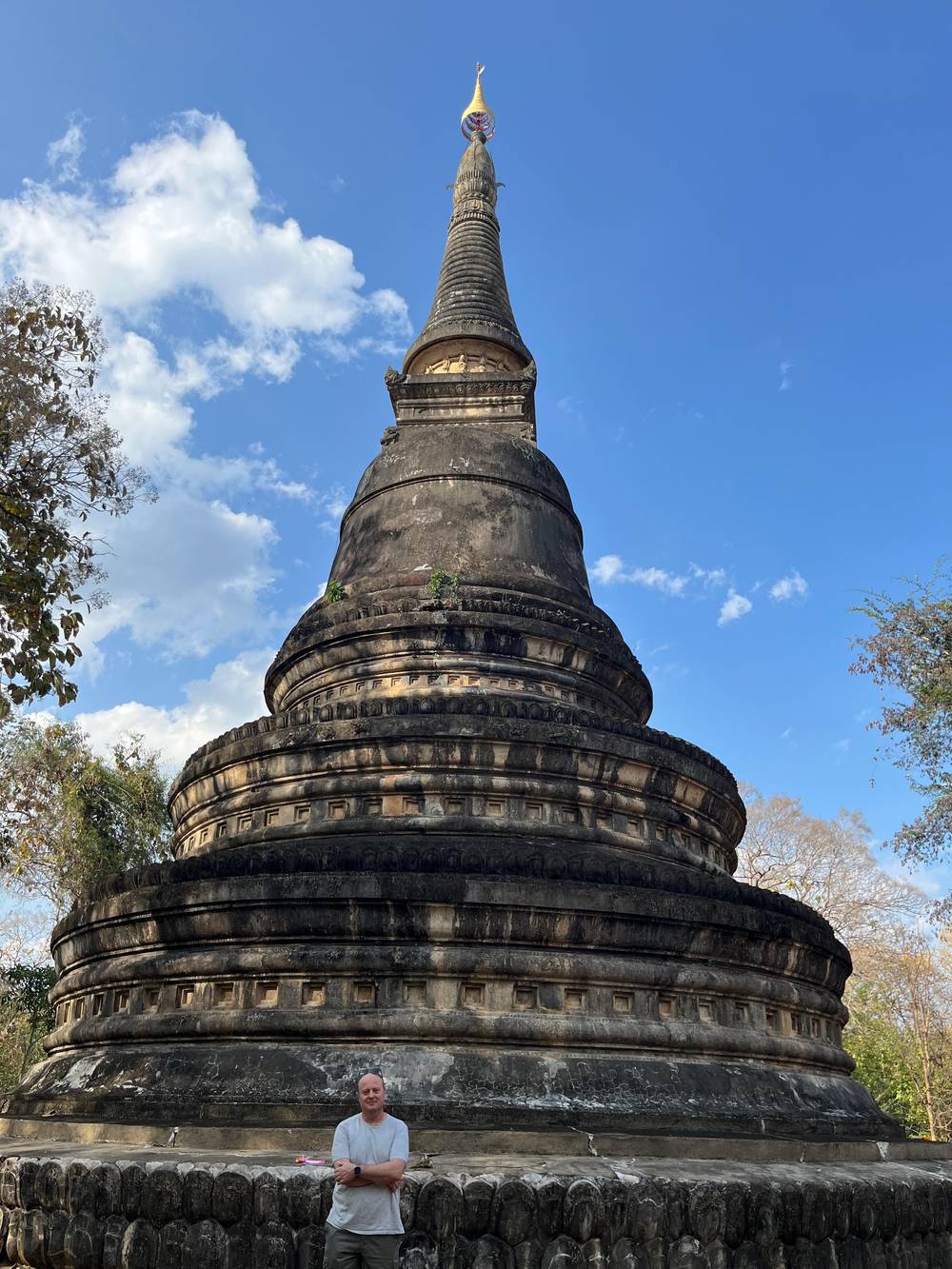
Wat Umong, a forest temple at the foot of Doi Suthep, the first stop of the evening tour this site books.
Google MapsHuai Kaeo Waterfall, a small single-tier fall close to town.
Google MapsWat Pha Lat, in the jungle on the road to the temple, a resting place for those on the way up.
Google MapsThe Monk's trail, the nature path that links Wat Pha Lat with the temple on the summit.
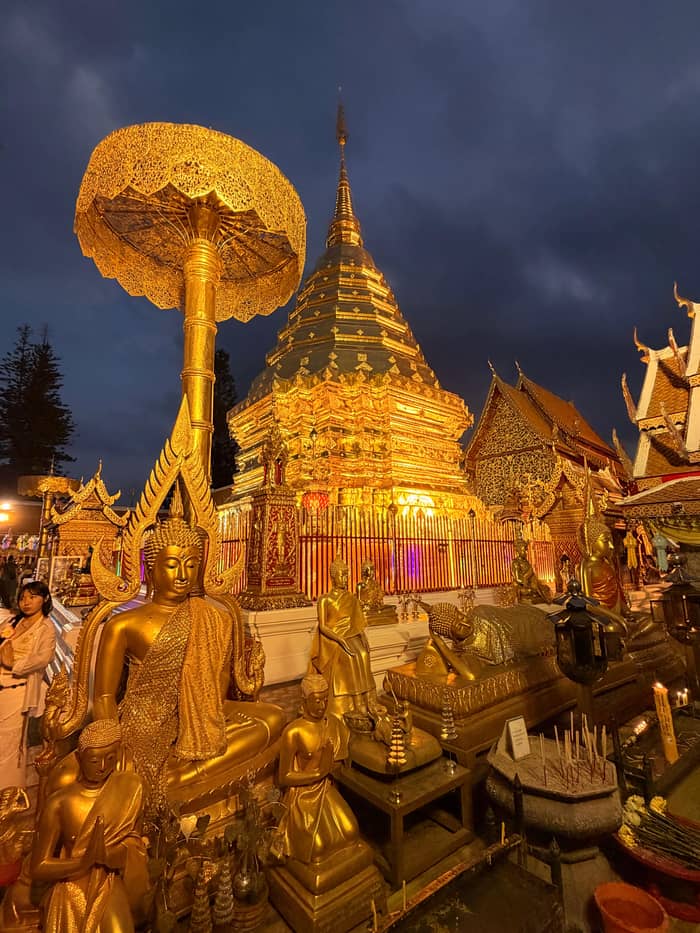
Google MapsThe temple of Doi Suthep, with its golden chedi, on the mountain above the city.
Google Maps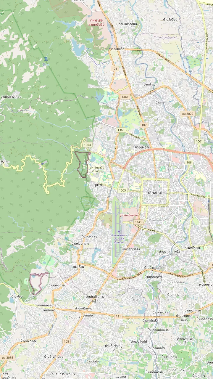
Chiang Mai airport, open around the clock since November 2023.
Google MapsWat Umong, a forest temple at the foot of Doi Suthep, the first stop of the evening tour this site books.
Google MapsTha Phae Gate, the east gate of the old city wall, a landmark to measure the ride up the mountain from.
Google MapsChang Phueak Gate, the north gate of the old city, on the side of town that faces the mountain.
Google MapsThe monument to Kruba Srivichai on Huai Kaeo Road, where the town ends and the climb begins.
Google MapsHuai Kaeo Waterfall, a small single-tier fall close to town.
Google MapsWat Pha Lat, in the jungle on the road to the temple, a resting place for those on the way up.
Google MapsThe temple of Doi Suthep, with its golden chedi, on the mountain above the city.
Google Maps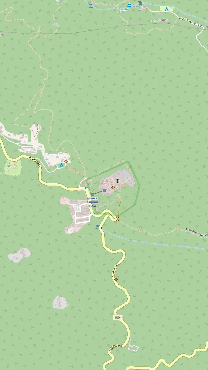
The temple of Doi Suthep, with its golden chedi, on the mountain above the city.
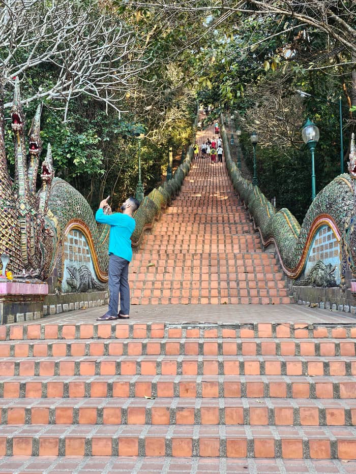
Google MapsThe Naga staircase, the stone stairway of the pilgrim climb to the terrace.
Google MapsThe Big Gong, which stands beside the foot of the staircase.
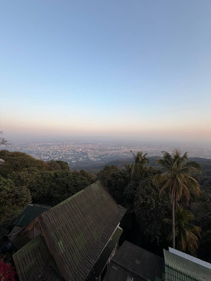
Google MapsThe viewpoint on the terrace, where the province recommends looking over Chiang Mai after prayers.
Google Maps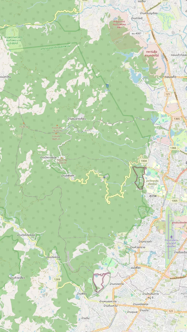
The temple of Doi Suthep, with its golden chedi, on the mountain above the city.
Google MapsBhubing Palace, the royal residence on the mountain, inside the area the park lists at a high elevation.
Google MapsDoi Pui Hmong village, on the mountain above the temple, the starting point for the Doi Pui viewpoint.
Google MapsDoi Pui viewpoint, where TAT sends visitors for sunset views of Chiang Mai.
Google MapsMontha Than Waterfall, three tiers falling from the summit of Doi Pui.
Google MapsHuai Kaeo Waterfall, a small single-tier fall close to town.
Google MapsMap data: © OpenStreetMap contributors
The forest path between the jungle monastery and the golden temple: how far it runs, what you pass, which tours walk it and when the weather suits a hike.
Editorial team, doisutheptour.top · Updated November 16, 2026 · A 6 min read
In brief
The Doi Suthep monk trail is the nature path that links Wat Pha Lat with the temple on the summit, and the clearest official description comes from the National Archives in Chiang Mai. It puts the start beside the Channel 7 TV station, about 2 kilometers of nature trail below Wat Pha Lat, with a forest cut-through from there to the temple that brings the whole outing to about 10 kilometers out and back.1 The archive calls the path the ancient route along which King Kue Na brought the relic up to the mountain.3
The path can be walked in either direction, and tours differ. A hike listing says the sunrise program goes to the temple first and, after the sun is up, continues to Wat Pha Lat, where it starts the Monk's Trail and hikes down the mountain instead of up. A private listing walks the trail in the golden hour and then continues to the monastery and the temple. Going down is gentler on the lungs, going up is closer to the pilgrim's way, and the choice is yours.
The time depends on the tour, because the stops and the pace differ. One private listing says the hike takes 30 to 40 minutes depending on fitness, a chanting listing gives the trail 50 minutes, and a summit day gives the Monk's Trail hike 1.5 hours. A day with the elephant camp allots 40 minutes of hiking at Wat Pha Lat. The chart below sets the figures against one another.
Ways to walk it
| Way | Stops | Hike time | From |
|---|---|---|---|
| Red truck | Waterfall, Pha Lat, temple | Pha Lat 40 minutes | from $17 |
| Sunrise hike | Temple, then Pha Lat and the trail down | Not stated | from $24 |
| Chanting tour | Trail, Pha Lat, temple chanting | 50 minutes | from $43 |
| Private hike | Trail in golden hour, Pha Lat, temple | 30 to 40 minutes | from $54 per group |
| Summit day | Trail, Pha Lat, park hiking | 1.5 hours | from $59 |
Fares are from prices from each listing; the hike times are the listing's own.
Wat Pha Lat is a quiet counterpoint to the busy terrace above it. TAT sets it apart from the main temple as the calmer and more secluded of the pair, tucked into the forest, with old stone buildings, carvings, statues and a city view of its own.2,5 That description fits a place you reach by walking: the trail brings you in under the trees, with no crowd around you.
Look at the buildings as layers. The archive's note is short: a Burmese-style chedi and a vihara raised by Burmese craftsmen, both from the days of Kruba Srivichai.6 Beside them are an old sala and a well that has been built over again and again across the eras.7 The university's nature centre on the mountain ties the monastery's founding to the elephant story told on our history page.8 Allow time to wander, not only to pass through.
Dress and manner follow the usual temple rules, and a trail stop is no exception. TAT asks for shoes off at the door of a hall, feet pointed away from a Buddha image, and no physical contact between a woman and a monk or his robe.4,9,10 The hike listing asks for shoulders and knees covered, and the private listing asks the same, so pack a light cover-up even if you hike in sports clothes.
Minutes on foot
Stop lengths copied from each itinerary; the private tour says 30 to 40.
The question of Wat Pha Lat to Doi Suthep is mostly a question of the shortcut. The archive says that after reaching the monastery visitors can walk through the forest to the temple, and it counts the whole outing at about 10 kilometers there and back.1 The hike listing is aware that not everyone can manage the slope: it says that if you cannot hike up the mountain, you can ride up by songthaew instead. So the trail never has to be all or nothing.
The trail's neighbourhood has a waterfall. The park lists Huai Kaeo Waterfall among its sites, and the park's own description is a small, single-tiered fall of approximately 10 meters.11,12 A red truck listing stops there for 20 minutes before Wat Pha Lat, which it gives 40 minutes, and then drives on to the temple. That makes the red truck trip the easiest way to sample each stop without committing to a long walk.
One thing we could not settle from an official page is whether the trail is charged. Under the national park schedule in force from 7 June 2022, Doi Suthep-Pui is a group 1 park and a foreign adult pays THB 100, a child THB 50, with the receipt to be kept for inspection.13,14 Whether a given trail entrance collects it is a question for the operator or the ranger. If a guide includes fees, the listing will say so, and the booking is the safer route.
Quick check
Find the row that fits your day and read the note.
If I want the shortest taste of the trail
The red truck stop
The red truck trip gives Wat Pha Lat 40 minutes and the waterfall 20.
If I want a proper walk with a guide
The sunrise hike
The hike listing asks for walking shoes and sends sunrise guests down the trail.
If I want the trail at a quiet hour
A private golden hour
One private listing hikes the Monk's Trail in the golden hour.
If I cannot manage the slope
A songthaew ride
The hike listing offers the songthaew for anyone who cannot hike up.
If I want the whole mountain in a day
The summit day
One listing joins the trail to park hiking and the temple.
Tours that walk the trail
Hike down
Temple first, trail down
Private group
Trail, Pha Lat, temple
Small group
Trail, Pha Lat, chanting
A forest trail changes character with the month. In the Thai Meteorological Department's monthly outlook, January is when most of the country sees its lowest readings, with a chill in the northern hills, and February is the changeover from winter to summer, with the north still cold early in the month.22,25 March is sweltering and dry, and April is called the hottest month of the year, especially around Upper Thailand.26,27 Hike early in those months.
Rain takes over from the second half of May, with cooler days and more showers, then peaks: August is commonly a month of dense rain, and September is the wettest of all in most areas.28,29,30 Over a full year the park logs 139 rainy days, a warning for any root-lined path.23 Cooler and drier weather returns through October and November, and December is chilly again, with very cold weather possible on mountain tops.31,32,33
A few practical notes complete the picture. Wear proper walking shoes, as the hike listing asks, and firm hiking shoes if you join the summit day, whose record says trail closures for weather or park management are rare and that an alternative route is used. In the dry season smoke can hang over the north, and in 2019 TAT suggested masks and the Air4Thai app where the air was unhealthy, so look at the air before you commit to a long walk.24
Price your group
Type your party size and each hike's fare is totalled for you.
Compare 3 alternatives
Type your party size and each hike's fare is totalled for you.
≈
View≈
View≈
ViewConverted at the ECB reference rate, from-prices as listed by GetYourGuide. The precise amount is shown when you book.
The trail in order
The start
The archive starts the trail near the Channel 7 TV station.1
The walk
About 2 kilometers of nature trail reach the monastery.1
The monastery
Wat Pha Lat began as a resting place on the way up.2
The shortcut
A forest shortcut climbs to the temple.1
The temple
The hall itself is entered barefoot.4
The return
The round trip comes to about 10 kilometers.1
Walking the trail yourself gives you the freedom to pause at the monastery as long as you like. It does require a way to reach the trail start and a way back from the temple, and the archive's starting point by the Channel 7 television station is the reference to give a driver.1 Take plenty of water and plan the return before you set out. A guide earns their fee in the explaining: names, stories and what the carvings show.
Guided options cover a wide price range. The red truck trip is from $17, the sunrise hike from $24, a chanting tour from $43, a private golden-hour hike from $54 for the whole group and the summit day from $59. One caution: the afternoon temple tour on this site's list says in its own good-to-know line that it skips the Monk's Trail, so check the stops before you assume a Wat Pha Lat visit includes the walk.
Decide first what the day is for. If the hike is the point, pick a listing that names the Monk's Trail and gives it a number of minutes. If the temple is the point and Wat Pha Lat is a bonus, the shorter tours do the job and keep the legs fresh for the stairs. The site tour that this page books visits Wat Umong first and the temple second, an easier evening if the slope is not for you. Whichever you choose, start early or late, never at noon.
Video
Hike For Happiness on YouTube · Nothing is fetched until you hit play.
Its name translating to 'Monastery at the Sloping Rock', Wat Pha Lat offers old stone buildings, intricate carvings and statues, and its own impressive city views.
Before you walk
FAQ
The archive gives about 2 kilometers to the monastery and about 10 kilometers round trip with the shortcut.1
Listings give 30 to 40 minutes, 50 minutes or 1.5 hours, depending on the tour.
The archive says visitors can walk the forest shortcut from the monastery up to the temple.1
That is TAT's translation of the name of the jungle monastery.5
One listing times it at 30 to 40 minutes by fitness and offers a songthaew ride for anyone who cannot hike.
The hike listing asks for proper walking shoes and covered shoulders and knees for the temples.
The afternoon tour listing says in its notes that the Monk's Trail is not part of it.
Sources
Planning a trip up Doi Suthep? Ask a real person here.