Village hour
Half day with village
Temple and Doi Pui village
- Village1 hour
- GroupUp to 9
- Reviews714
Guides
Language
Currency
Find open datesfrom $25 · cancel without payingFind a stop on the map
Evening tour to Doi Suthep and Wat Umong
★ 4.6 · 1,891 guest reviews
See all 23 stops
Pick a route and tap a pin or a stop: you get its note and a Google Maps link.
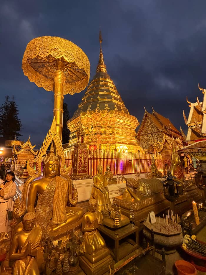
The temple of Doi Suthep, with its golden chedi, on the mountain above the city.
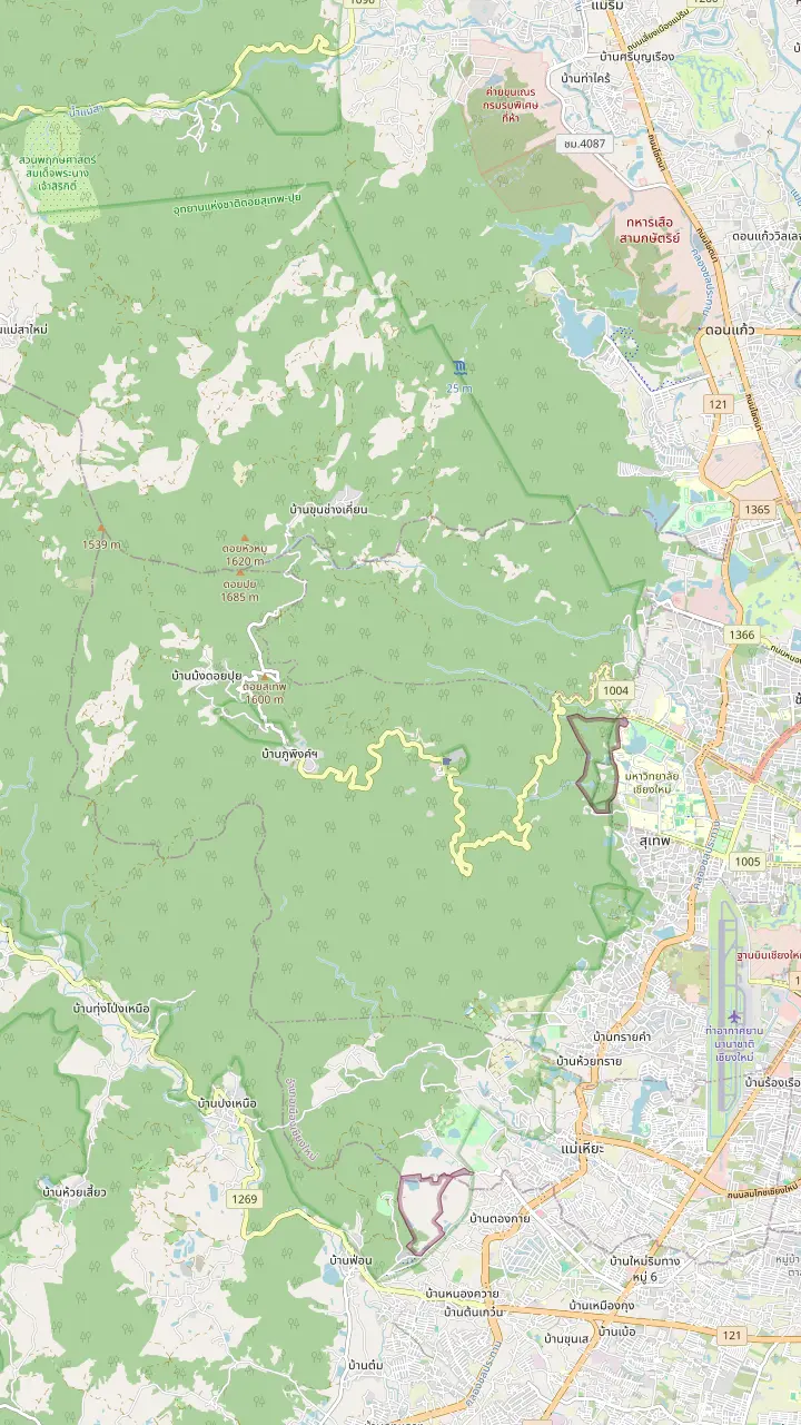
Google MapsBhubing Palace, the royal residence on the mountain, inside the area the park lists at a high elevation.
Google MapsDoi Pui Hmong village, on the mountain above the temple, the starting point for the Doi Pui viewpoint.
Google MapsDoi Pui viewpoint, where TAT sends visitors for sunset views of Chiang Mai.
Google MapsMontha Than Waterfall, three tiers falling from the summit of Doi Pui.
Google MapsHuai Kaeo Waterfall, a small single-tier fall close to town.
Google Maps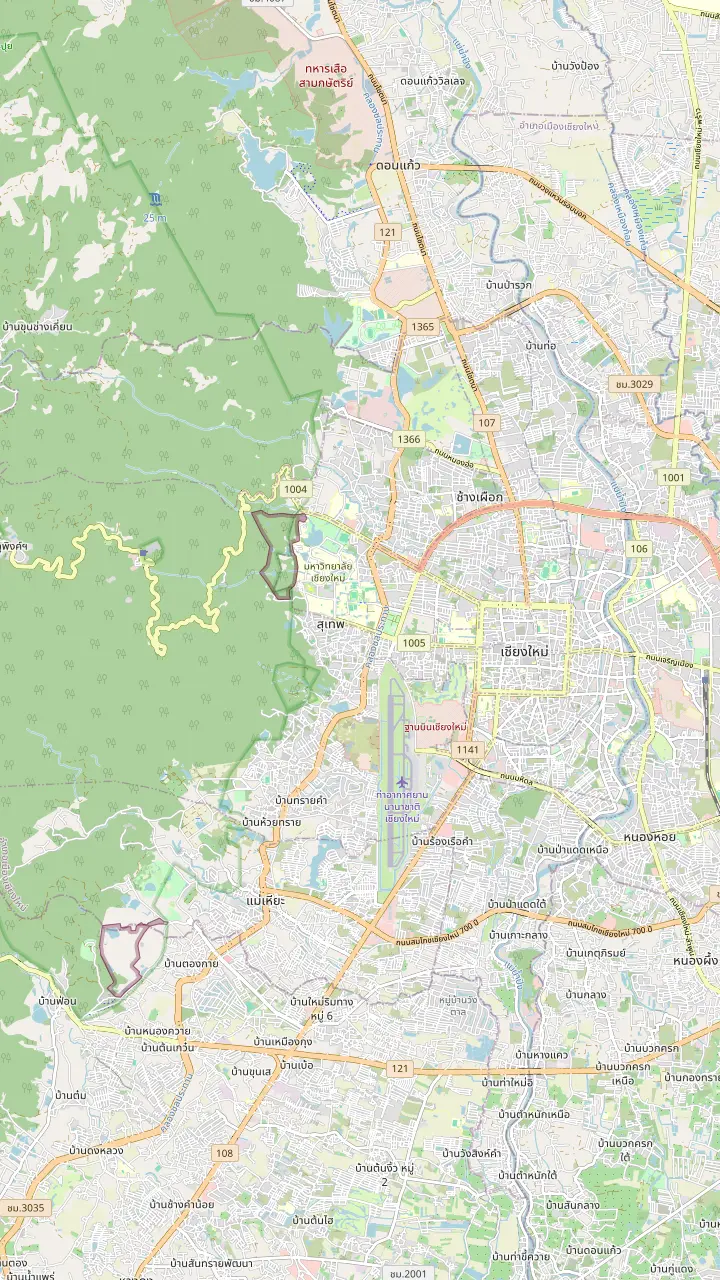
Chiang Mai airport, open around the clock since November 2023.
Google MapsWat Umong, a forest temple at the foot of Doi Suthep, the first stop of the evening tour this site books.
Google MapsTha Phae Gate, the east gate of the old city wall, a landmark to measure the ride up the mountain from.
Google MapsChang Phueak Gate, the north gate of the old city, on the side of town that faces the mountain.
Google MapsThe monument to Kruba Srivichai on Huai Kaeo Road, where the town ends and the climb begins.
Google MapsHuai Kaeo Waterfall, a small single-tier fall close to town.
Google MapsWat Pha Lat, in the jungle on the road to the temple, a resting place for those on the way up.
Google MapsThe temple of Doi Suthep, with its golden chedi, on the mountain above the city.
Google Maps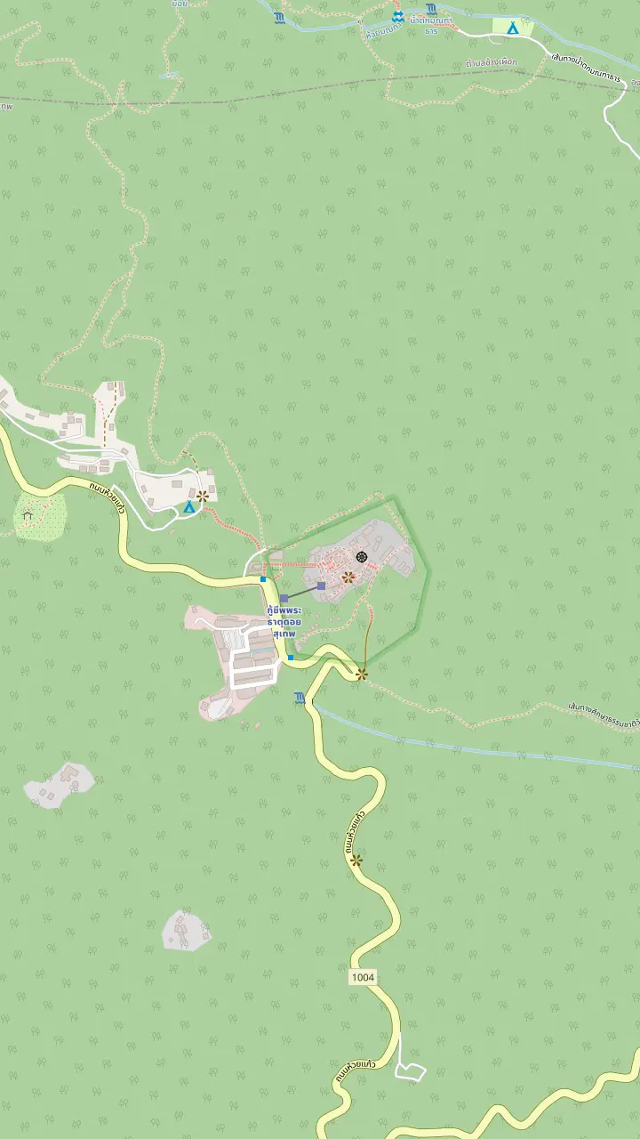
The temple of Doi Suthep, with its golden chedi, on the mountain above the city.
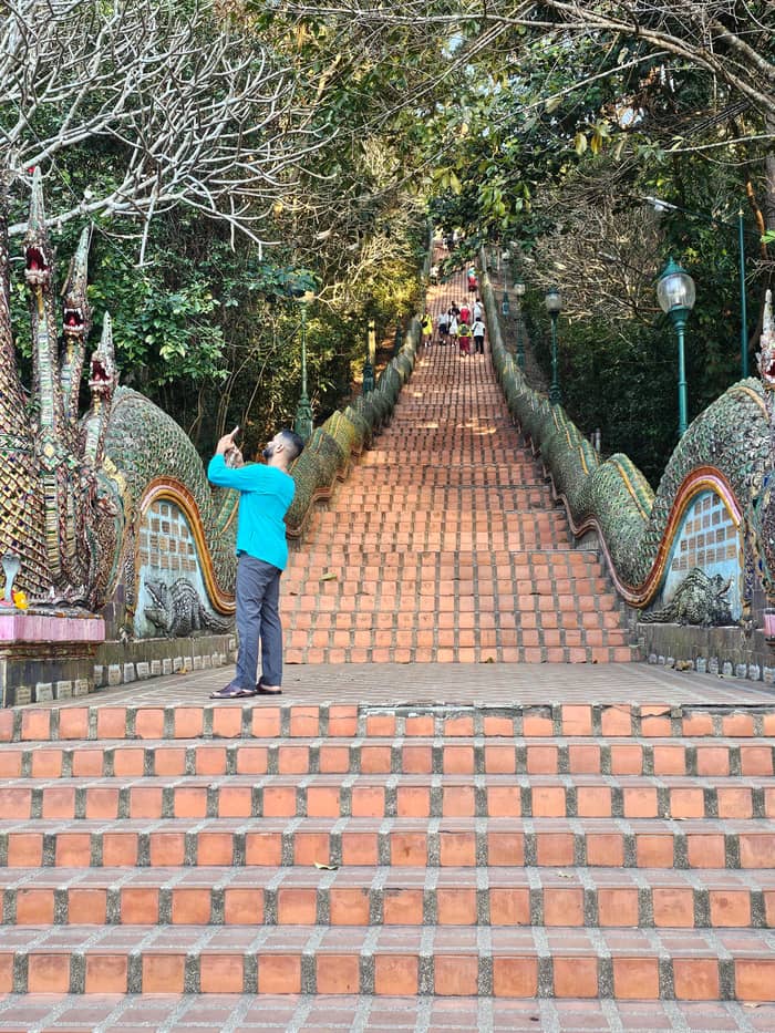
Google MapsThe Naga staircase, the stone stairway of the pilgrim climb to the terrace.
Google MapsThe Big Gong, which stands beside the foot of the staircase.
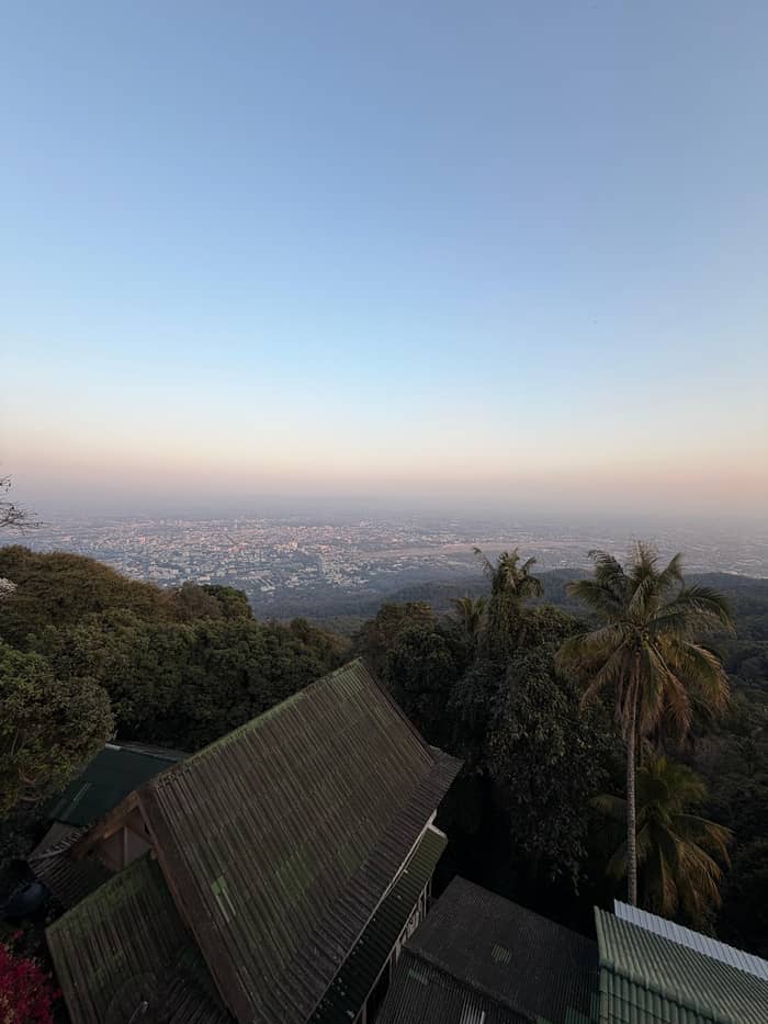
Google MapsThe viewpoint on the terrace, where the province recommends looking over Chiang Mai after prayers.
Google Maps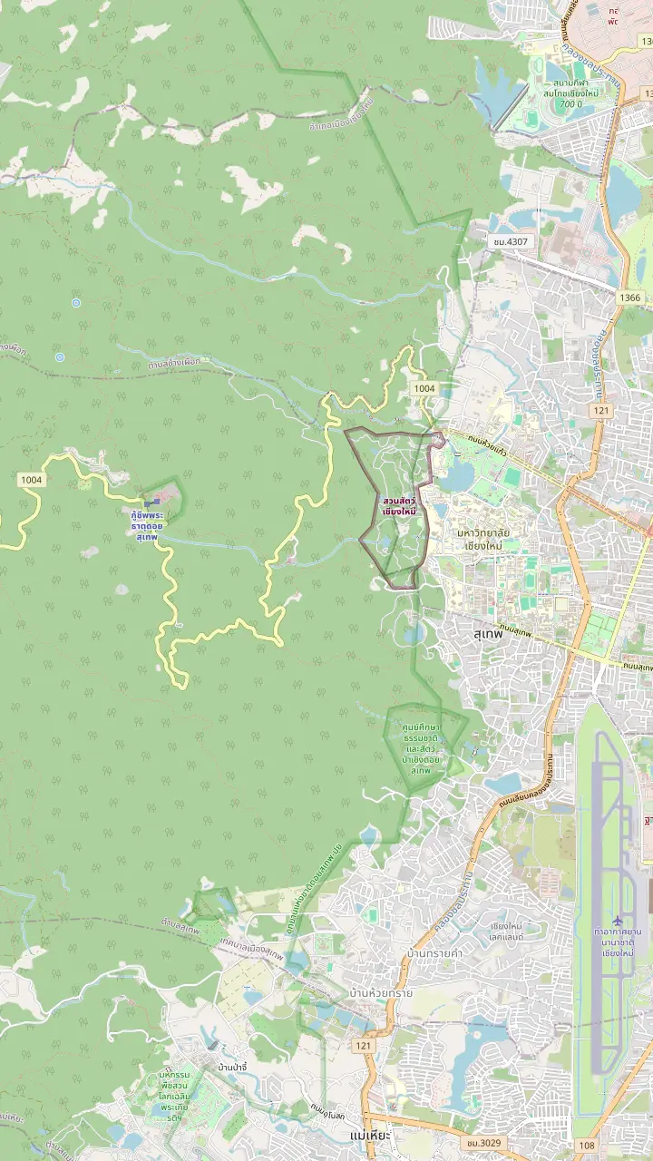
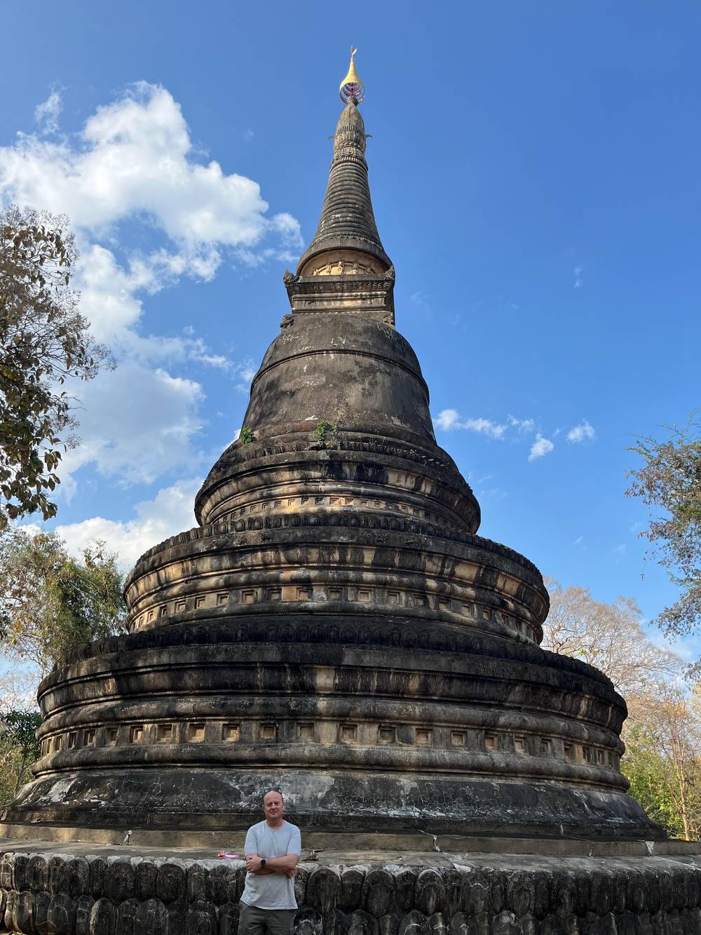
Wat Umong, a forest temple at the foot of Doi Suthep, the first stop of the evening tour this site books.
Google MapsHuai Kaeo Waterfall, a small single-tier fall close to town.
Google MapsWat Pha Lat, in the jungle on the road to the temple, a resting place for those on the way up.
Google MapsThe Monk's trail, the nature path that links Wat Pha Lat with the temple on the summit.
Google MapsThe temple of Doi Suthep, with its golden chedi, on the mountain above the city.
Google MapsMap data: © OpenStreetMap contributors
What lies on the mountain beyond the temple: the park, its heights, the palace road, Ban Hmong Doi Pui, the waterfalls and the tours that cover them.
Editorial team, doisutheptour.top · Updated November 16, 2026 · A 6 min read
In brief
A Doi Suthep-Pui National Park tour covers more than the temple. The temple is the best-known place on the mountain, but the park around it is large: the Department of National Parks says a decree of 1982 brought it to approximately 261 square kilometers, after its first boundary of 161 square kilometers in 1981, when it became the 24th national park.7,1 That is a lot of forest for a city's back garden, and it explains why the road up feels quickly rural.
The park's height range drives everything about it. It runs from 330 to 1,685 meters above sea level, with the summit of Doi Pui as its highest point.2 The park describes its forests in bands by height: deciduous dipterocarp forest between 330 and 850 meters, mostly on the east and south slopes, and hill evergreen forest from 1,000 meters up to the top of Doi Pui.8,9 You pass through those bands on the road to the temple without noticing, and the air gets cooler at each step.
The mountain also serves the city below. The park calls it a vital source of water for Chiang Mai city and nearby districts.10 It lists birdwatching, trekking, waterfalls and swimming, stargazing and camping among its activities, and counts more than 300 species of birds seen there.11,12 It is also honest about loss: some large species, including wild elephants, gaur, banteng and tigers, are now extinct in the area.13 Expect birds and forest, not a safari.
Stops on the high road
| Stop | Distance | What the park says |
|---|---|---|
| Palace | About 4 kilometers from the temple3 | No public transport3 |
| Hmong village | About 4 kilometers from the palace4 | Extremely winding road4 |
| Doi Pui summit | About 7 kilometers from the palace14 | Relatively narrow route14 |
| Montha Than | About 3 kilometers from the monument24 | A right turn on the way |
| The monument | About 10 kilometers from the temple25 | Park headquarters opposite26 |
All distances are the park's own, as approximate figures.3,24
Most visitors think of Doi Suthep as one height, the temple's, and the park shows how many levels there are. Start from the temple, which TAT sets at 1,056 metres.15 The park's own headquarters sits at 1,130 meters, and the ground around Bhubing Rajanives Palace is listed at 1,400 meters.16,17 Every step up changes the temperature and the mood, and the chart below lays the levels out in order.
At the top of the list stand the peaks. The park gives Doi Suthep an elevation of 1,601 meters at San Ku, below Doi Pui, and lists the Doi Mae Sa Noi summit at 1,549 meters.18,19 Doi Pui's 1,685 meters make it the highest point of the park.2 The temple, then, is a shoulder of the mountain, not its crown, which is also why a visit to the Hmong village or the viewpoint feels like going further into the hills.
Altitude makes its own weather. On the high plateaus, such as the summit of Doi Pui, the park records average relative humidity between 70% and 80%, and calls the weather typically cold and wet, with fog over the area for most of the year.20,21 From December to February the average low drops to 4 to 5 degrees Celsius, and the year brings 139 rainy days.22,23 Dress for a different climate from the one in town.
The road does not end at the temple, and the park describes what lies beyond it. Bhubing Rajanives Palace is approximately 4 kilometers from the temple, there is no public transport, and visitors use their own vehicle or hire a taxi from the temple's front gate.3 The park adds that a guide can take visitors around the palace, the Doi Pui summit and Ban Hmong Doi Pui.27 Our sources give no visiting rules for the palace itself, so check whether it is open on your day.
Ban Hmong Doi Pui is approximately 4 kilometers beyond the palace, down an extremely winding road, so drivers must take care.4 That is the sentence to remember if you hire a motorbike: the bends are what the park warns about. The summit of Doi Pui is approximately 7 kilometers from the palace along a relatively narrow route.14 On a tour a driver handles these roads, and that is much of what you are paying for.
The Doi Suthep Hmong village is also the way to a view. TAT recommends the Doi Pui Viewpoint for sunset views over Chiang Mai, and says the way to it runs from Doi Pui Hmong Village, high on the mountain.5 Listings put the village at one hour on a half-day tour that includes a museum, and 2 hours on another half day shared with the temple. We found no official page describing village life, so we leave its customs to your guide and to the people you meet there.
Quick check
Say what you want from the slope and see which tour suits.
If Temple plus a village visit
The village half day
One listing gives 1 hour to the temple and 1 to Doi Pui village.
If More time at each stop
The longer half day
Another gives 2 hours to the temple and 2 to a Hmong village.
If A real walk in the park
The summit hiking day
The 7-hour listing includes 2.5 hours of park hiking and 1 at Doi Pui.
If A waterfall without a long hike
The red truck stop
The red truck trip stops 20 minutes at Huai Kaeo.
If Cold air and mountain views
The cool months
Winter on the slope runs December to February, when the typical minimum is 4 to 5 degrees Celsius.22
Tours on the high slope
Village hour
Temple and Doi Pui village
Longer stops
2 hours at each
Park hiking
Trail, park and Doi Pui
Searches for a Doi Suthep waterfall usually mean Huai Kaeo or Montha Than, and both are in the park. The park lists Huai Kaeo, Montha Than, Mae Sa, Tat Mok and Mok Fa waterfalls, along with Si Sangwan, Rue Si Cave and the Nang Phaya Suea Khrong viewpoint.6 Huai Kaeo is the modest one-drop fall near town, approximately 10 meters high, easy to fit into a morning.29 Montha Than runs through Khok Ma Creek until it plunges off a cliff 30 meters high.36
Getting there differs. The park says you turn right about 3 kilometers from the Khruba Sriwichai Monument for Montha Than, and that bicycles, motorcycles, private cars and minibuses can enter that area.24 A red truck trip stops at Huai Kaeo for 20 minutes before going to Wat Pha Lat and the temple, which makes it the simplest way to see a fall on a half day. Nang Phaya Suea Khrong viewpoint is about 3 kilometers from the visitor center, and the park says wild Himalayan cherry blooms pink there around the new year.42
Water changes by season. The Thai Meteorological Department says the second half of May starts the rainy season, that August commonly brings dense rain, and that September is the wettest month of all in most areas.40,43,44 Falls look their best after rain, and trails are at their slipperiest then. The park keeps the Doi Pui campground closed from 1 May to 31 October, which is another sign of how the wet months shape the mountain.45
Price your group
Add your party and the fares update beside each tour.
Compare 3 alternatives
Add your party and the fares update beside each tour.
≈
View≈
View≈
ViewConverted at the ECB reference rate, from-prices as listed by GetYourGuide. The precise amount is shown when you book.
The high road in order
The temple
Taxis to the palace leave from the temple's front gate.3
The palace
The palace stands about 4 kilometers beyond the temple.3
The village
The village lies about 4 kilometers on, down a winding road.4
The viewpoint
Sunset views of Chiang Mai are reached from the village.5
The summit
The summit is about 7 kilometers from the palace.14
Tours reach the high slope in different shapes. A half day with a small group, limited to 9, gives the temple a guided hour and the Doi Pui village museum and village another hour, with the climb offered as 309 steps or an included cable car, from $34. A second half day gives the temple 2 hours and a Hmong village 2 hours with a skip-the-ticket-line label, from $27. Choose between them on how much time you want in each place.
For a walker, the summit day is the park tour. Its record lists a jeep ride, a safety briefing, the Monk's Trail hike for 1.5 hours, Doi Suthep-Pui National Park hiking for 2.5 hours, 1 hour at Doi Pui and lunch at the temple, from $59. It is a long day, built around time inside the forest. If you hike, dress for forest, not for the temple alone, and bring the layer that the cold months call for.
The site tour does not enter the high park, and it is clear about what it does: Wat Umong and the temple, in the evening, from $25. Fees on the mountain are the park's: the schedule in force from 7 June 2022 lists THB 100 for a foreign adult and THB 50 for a child, and asks visitors to carry the receipt.38,39 The park's welfare shop keeps daily hours of 08.00 - 17:00.46 Match the tour to the part of the mountain you want.
Video
Sofya Barth on YouTube · Nothing is fetched until you hit play.
It is a vital source of water for Chiang Mai city and nearby districts.
On the high slope
FAQ
The park says there is no public transport; use your own vehicle or a taxi from the temple's front gate.3
The park puts Ban Hmong Doi Pui about 4 kilometers beyond the palace, down a winding road.4
The park lists Huai Kaeo, Montha Than, Mae Sa, Tat Mok, Mok Fa and Si Sangwan waterfalls.6
One gives the village 1 hour, another 2 hours; both include the temple.
TAT's list shows Doi Pui Campground closed from 1 May until 31 October.45
Sources
Planning a trip up Doi Suthep? Ask a real person here.